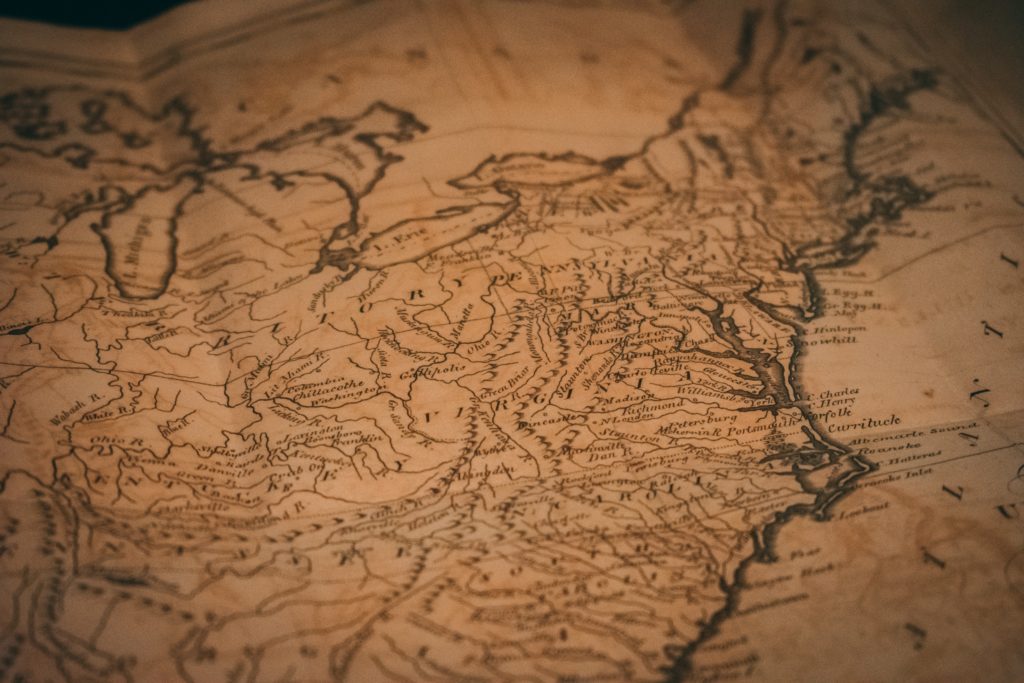
Exploring the Art and Science of Map-Making
Introduction: Cartography, the art and science of map-making, is a captivating field that combines creativity, technology, and spatial analysis. Cartographers play a crucial role in visually representing our world, helping us understand complex information and navigate our surroundings. In this blog post, we will embark on a journey to discover the allure of cartography, explore what a cartographer does, and delve into the incredible creations they can bring to life in today’s technologically advanced world. Drawing inspiration from examples found on the RST Software blog, we will witness the beauty and versatility of cartography.
-
The Intriguing World of Cartography: a) A Blend of Art and Science: Cartography combines artistic design principles with scientific techniques to create visually compelling and informative maps. b) Understanding Spatial Relationships: Cartographers study and depict spatial relationships, helping us grasp connections between places, phenomena, and data. c) Visual Storytelling: Maps have the power to tell stories, convey information, and evoke emotions through their captivating visual representations.
-
What is a Cartographer? a) Mapping the World: A cartographer is a skilled professional who designs, creates, and interprets maps. They utilize various tools, software, and techniques to transform complex data into visually appealing and informative map products. b) Spatial Analysis: Cartographers analyze spatial data, consider map projections, and make decisions on symbolization and representation to accurately convey information. c) Communication and Collaboration: Cartographers often collaborate with domain experts, data scientists, and designers to ensure maps effectively communicate information to diverse audiences.
-
The Beauty of Cartography in Today’s World: Cartographers today have access to advanced technologies and tools, enabling them to create remarkable map products and explore new possibilities. Let’s explore some fascinating examples: a) Geospatial Data Visualization: Cartographers can visualize complex geospatial data, such as population demographics, environmental patterns, or infrastructure networks, using techniques like choropleth maps, heat maps, and 3D visualizations. b) Interactive and Web Mapping: Through web-based platforms, cartographers can create interactive maps that allow users to explore and interact with data, providing a dynamic and engaging experience. c) Augmented Reality (AR) Mapping:
-
Cartographers can merge physical environments with digital map overlays using AR technology, enhancing real-world experiences and providing valuable spatial information. d) Story Maps: Cartographers can create narrative-driven maps that guide users through a story or journey, integrating multimedia elements like images, videos, and text to provide a comprehensive understanding of a specific topic or event. e) 3D Mapping and Virtual Reality (VR): With the help of advanced technologies, cartographers can create immersive 3D maps and virtual reality experiences, allowing users to explore and visualize spaces in a highly realistic manner. f) Mobile Mapping: Cartographers can develop map-based applications for mobile devices, enabling users to access location-based information, navigation services, and augmented reality experiences on the go.
Conclusion: Cartography is an enchanting field that merges art, science, and technology to create visually captivating maps. Cartographers play a crucial role in helping us understand our world, navigate complex situations, and make informed decisions. With advancements in technology, the field of cartography has expanded to include geospatial data visualization, interactive mapping, augmented reality experiences, and much more. The beauty and versatility of cartography continue to evolve, offering endless possibilities for creating visually stunning and informative maps that enrich our understanding of the world around us.
